Thursday, 25 April 2024
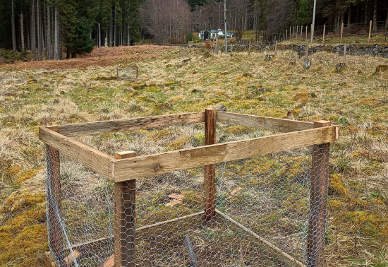
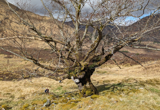
Many don’t realise that Scotland is home to a native apple species, the wild apple (Malus sylvestris). Due to hybridisation, and historically being seen as unimportant the nat...
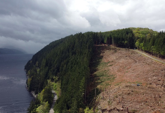
17 April 2024: a section of the Bardennoch Trail Pack Road (Core path ID: CARS/164/3) is currently affected by forestry operations. These works are expected to conclude by 12 May 2024. Please follow all on-site signage and directions from bankspersons and operators.
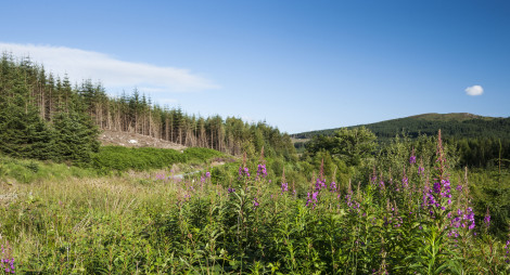
This large conifer woodland is dotted with historic remains that make up a fascinating picture of Galloway's past. Visit Polmaddy settlement to find the ruins of a traditional farming village tucked in a loop of the lovely Polmaddy Burn. The burn winds its lazy way through the woodland, which opens out to give wonderful views of the surrounding countryside.
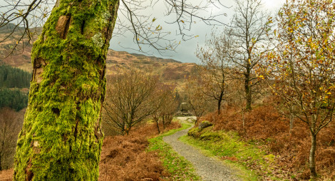
Explore the atmospheric ruins of a traditional Galloway farming village abandoned over 200 years ago. It is a beautiful setting in the lee of the Rhinns of Kells.
Uneven grassy surface with significant muddy sections. Includes short fairly steep slopes and one narrow bridge.
Allow ½ hour
This trail winds among the ruins of the historic village, which stands in a picturesque loop of the Polmaddy Burn. Look out for the village inn, water mill, millpond and corn kilns beside the old pack road and pilgrimage route that led from Strathclyde to Whithorn. There are interpretation panels on site to tell you more about the settlement’s fascinating history, and you can download this leaflet to help you explore.
The mill has royal connections – the Scottish King, Robert the Bruce, found refuge in the village shortly before his first victory against the English at Glentrool in 1307. In gratitude, Bruce later rewarded the miller and his wife with the freehold of the mill!
The nearest public toilets, cafés and shops are at Carsphairn or St John’s Town of Dalry.
There is no charge to park in this car park. Please park with care and consideration. In particular please park in designated parking areas only and do not block entrances or gates.
Polmaddy lies on the west side of the A713, half way between St John's Town of Dalry and Carsphairn.
DG7 3SY is the nearest postcode.
Have a question or suggestion for improvement?
Watch for wildlife or gaze at the stars
The best of Galloway Forest Park from the comfort of your car
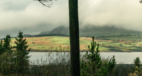
Short walk to one of Scotland's most beautiful views
Thursday, 25 April 2024
Many don’t realise that Scotland is home to a native apple species, the wild apple (Malus sylvestris). Due to hybridisation, and historically being seen as unimportant the nat...
Thursday, 18 April 2024
An ancie...
Thursday, 11 April 2024
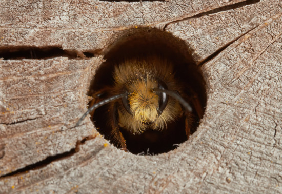
Around 270 species of bees are found in the UK, with nearly 90% solitary species. Some that can be seen in Scotland include the red mason bee, common carder bee and the chocolate mining bee that...
Thursday, 04 April 2024