Thursday, 18 April 2024
An ancie...
The Highland Council is now managing this car park and parking charges apply. Please see below for more information.
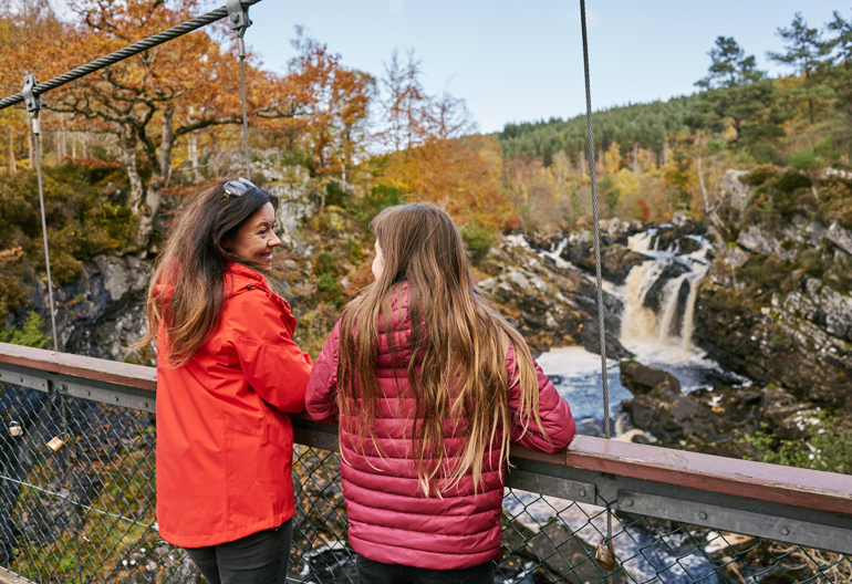
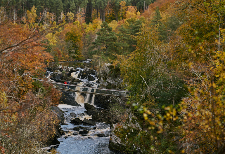
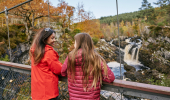
Get up close to these impressive waterfalls on a new suspension bridge across the beautiful Black Water river. It's only a short walk from the car park and during August and September there's an excellent chance of seeing wild salmon leaping upstream. Visit after heavy rain or snow, when water gushes and tumbles from the slopes of Ben Wyvis, and the Falls of Rogie are even more sensational.
Drop down through the woods to the viewpoint over the dramatic Falls of Rogie. Watch for salmon leaping on their way up the Black Water.
Wide, firm and smooth gravel path. Includes a long steep slope.
Allow ½ hour
The shortest route to the waterfalls and the elegant suspension bridge which crosses the Black Water river. Discover the salmon's incredible life story at the viewing platform before stepping out over the dark swirling river to see the Falls of Rogie face-on. You can return the same way or follow the Riverside Trail back to the car park.
A longer walk through the woods and along the river, taking in the viewpoints at the falls and Raven’s Crag.
Rough gravel and earthy path. Includes narrow, rocky and muddy sections, as well as exposed tree roots. Steep slopes with some uneven rocky steps.
Allow ½ hour
Having watched the salmon leaping up an impossible wall of water, follow their onward journey on this lovely forest trail beside the river's dark tranquil pools, returning through pinewoods brimming with heather and blaeberry.
Starts from the viewing platform beside the Falls of Rogie. Follow the Salmon Trail from the car park to the river.
Public toilets in the car park are open seasonally (April - October) and run by Highland Council. Food is available in Tarvie and Contin. There are other toilets, shops and places to eat in Strathpeffer, Contin and Dingwall.
![]()
This car park is managed in partnership with The Highland Council, parking charges apply here. Please visit The Highland Council for charges, terms of parking and ways to pay. Forestry and Land Scotland parking passes or tickets are not valid in this car park. Please park with care and consideration.
From Contin, take the A835 road west heading for Ullapool for about two miles. You will see the sign for the Rogie Falls car park on the east side of the road. The car park is at grid reference NH 442 585.
IV14 9EQ is the nearest postcode. It's on the A835 about a mile (1.6 km) before the car park if you are coming from Inverness.
There is a bus service to Contin, 2 ¼ miles (3.6 km) away.
Have a question or suggestion for improvement?
Home to squirrels, pine martens and a beautiful mixture of trees
Small picturesque loch set within sloping birch and oakwoods
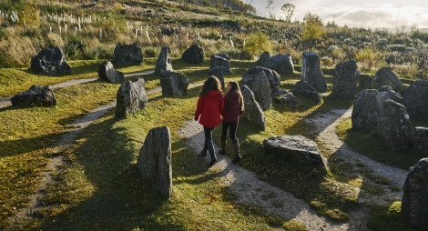
Home of ancient rituals, geology, and mountain views
Thursday, 18 April 2024
An ancie...
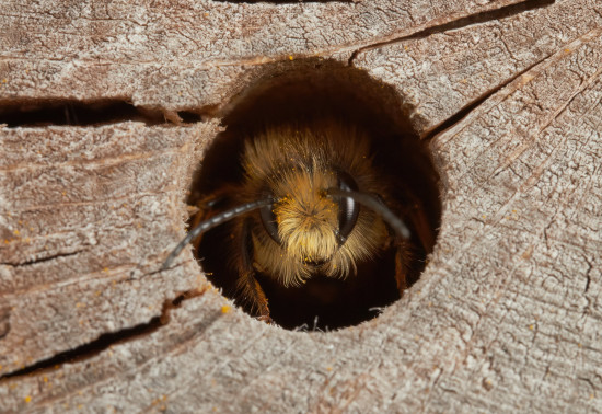
Thursday, 11 April 2024
Around 270 species of bees are found in the UK, with nearly 90% solitary species. Some that can be seen in Scotland include the red mason bee, common carder bee and the chocolate mining bee that...
Thursday, 04 April 2024
Thursday, 21 March 2024