Tentsmuir Land Management Plan
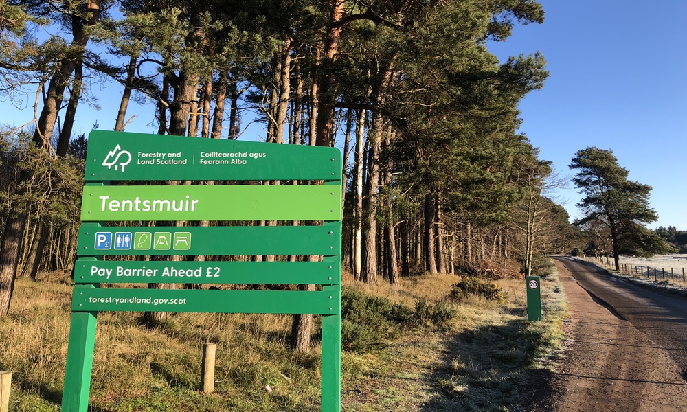
Tentsmuir is situated on the north-east coast of Fife between St Andrews and Tayport. The Land Management Plan area covers 1573 hectares and comprises the northern block of Tentsmuir Forest (including Morton Lochs) and the smaller Reres Wood to the south.
Most of the land was acquired by the Forestry Commission in the 1920s and planted predominantly with Scots pine and Corsican pine. There are still a few sites where the first rotation of pines planted between 1922 and 1925 have been retained. Much of the forest is managed using a continuous cover forestry approach.
In addition to commercial forestry, careful management has created an interesting mixture of open space, ponds, trees and sand dunes that are rich in wildlife and popular for recreation. The coastline surrounding the forest also has a number of local, national and international designations which influence the management of the forest. The site and the coastline also contain a number of heritage features and Scheduled Monuments, including numerous World War II coastal defences.
The revised land management plan will include the areas affected by Storm Arwen in 2021 along the north coast of Tentsmuir and Morton Lochs. The harvesting of these sites has now been completed and we are reviewing future options. The north coast area is likely to be impacted by coastal flooding and erosion over the course of this century, therefore we are looking at options to establish a mosaic of open and native woodland habitat. We will provide more information about the future management for both areas on this page in due course.
Timeline
- June 2022: the present Land Management Plan expired
- Winter 2022/23: initial scoping and consultation (see below)
- Spring 2024: formal draft plan consultation to take place
Initial scoping and consultation
The initial scoping and public consultation closed on Monday 23 January 2023. Thank you to everyone who provided feedback and completed the survey. A summary of the results of the survey is available with the consultation documents below.
We intend to host a community engagement 'drop in' event during Spring 2024 and will update this page when more information is available.
Documents and maps
- Background and context document (PDF)
- Map 1 - Location (PDF)
- Map 2 - Designated areas (PDF)
- Map 3 - Context (PDF)
- Initial public scoping report 2023 (PDF)
Get in touch
If you would like further information or would like to submit feedback on this plan, please contact us at:
Forestry and Land ScotlandInverpark
Dunkeld
Perthshire
PH8 0JR