Wednesday, 21 Jan 2026
Red Squirrel Appreciation Day falls on the 21 January this year and we're sharing some of our favour…
8 January 2026: the Fairy Knowe Trail is partially closed for 3-4 months due to harvesting operations. Access to the Fairy Knowe steps is via lower “Water of Gregg” forest road (map here). Please keep away from machines, equipment and log stacks. Please follow all signs and instructions.
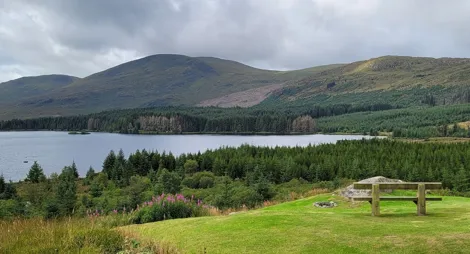
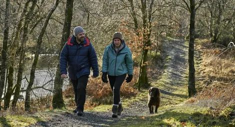
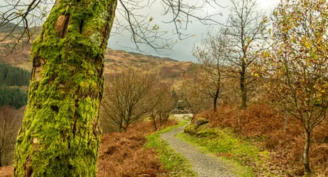
You can spend a lot of time exploring the countryside around the Ayrshire village of Barr. Nearly 20 miles (32 km) of paths take you through forest, along riversides and across open hills.
8 January 2026: the Fairy Knowe Trail is partially closed for 3-4 months due to harvesting operations. Access to the Fairy Knowe steps is via lower “Water of Gregg” forest road (map here). Please keep away from machines, equipment and log stacks. Please follow all signs and instructions.
Climb through the eerie spruce trees to emerge above the Fairy Knowe and a rushing waterfall for some magical views over the forest to Haggis Hill.
Uneven grassy paths with narrow, muddy and rough sections. Some steep slopes and a long flight of steps for 100m. Includes some bridges and wide gates.

Allow 2 ½ hours
The Fairy Knowe is a delightful spot on the burn. Rest here and admire the water rushing through a spectacular cleft in the hills.
You’ll find places to eat in Barr village.
There is no charge to park in this car park.
To reach the forest car park, take the single track road from the Kings Hotel in Barr village, following the Water of the Gregg. Pass the village school and continue for about ½ mile (800 metres), then turn left at the first fork to reach the car park.
Nearest postcode: KA26 9TN
Have a question or suggestion for improvement?

Discover Ayrshire's finest mountain scenery by car

Woods, water, hills and history

Short walk to one of Scotland's most beautiful views