Wednesday, 21 Jan 2026
Red Squirrel Appreciation Day falls on the 21 January this year and we're sharing some of our favour…
Camore has the pleasant open atmosphere of a native pinewood, with purple heather covering the forest floor and glimpses of the surrounding countryside through well-spaced trees.
It's a place where children play imaginatively and adults soak up the forest peace, where buzzards hunt for voles, roe deer flit through the trees and woodland birds feast on wild raspberries and blaeberries in summer. Popular with children, horse riders and dog walkers, this is a forest to return to again and again. Our map guide will help you explore Camore and other forest trails in Sutherland.
Explore the open pine stands of Camore Wood and discover some of the 25 Iron Age hut circles from a thriving early farming community.
Firm gravel surface with some uneven earthy sections. Some short steep slopes and two individual steps. Parts may be wet after rain.

Allow 1 ½ hours
There's a permanent intermediate level orienteering course through these open woodlands. Contact us for a map.
Horse riders are welcome at Camore.
You'll find public toilets, shops and places to eat in Dornoch 2 miles (3.2 km) away.
There is no charge to park in this car park.
From Dornoch travel west along Castle Street and turn left into Sutherland Road (signposted Cuthill). After 2 miles (3.2 km) turn right at the forestry signs and follow a forest road to the car park.
From the south, cross the Dornoch Bridge on the A9 and turn right onto a singletrack road signposted Cuthill. 1½ miles (2.4 km) further on you'll see the forestry signs on your left.
Nearest postcode: IV25 3RW
There's a regular bus service from Inverness to Dornoch, about 2 miles (3.2 km) from Camore forest. You'll find details at Traveline Scotland.
Have a question or suggestion for improvement?

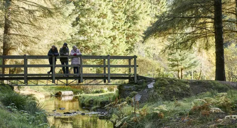
Wander through pleasant mixed woodland down to the Skelbo burn

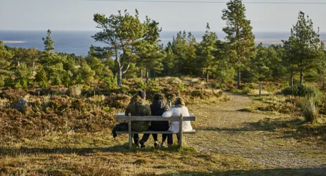
Climb to Pulpit Rock for panoramic views across to Tarbet Nes

Gentle strolls among the pines around Aldie Burn