Wednesday, 21 Jan 2026
Red Squirrel Appreciation Day falls on the 21 January this year and we're sharing some of our favour…
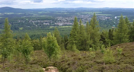
Clearings in the trees offer views of the surrounding countryside. Keep an eye out for the old curling pond next to the picnic area on the north-east edge of the wood. You might glimpse the resident wildlife too. There are sometimes roe deer among the trees and damselflies by the pond.
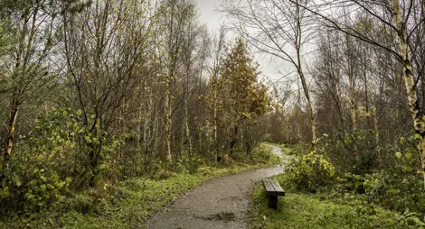
There are no waymarked trails in Denlethen, but the main forest track is easy to follow and forms a circuit of about 1¾ miles. Smaller paths between the trees offer lots of options for making your own route.
The nearest public toilets are in Montrose, although there are a few cafés and shops in Laurencekirk.
There is no charge to park in this car park.
The car park at Denlethen is well hidden. As the A937 bends to the left upon leaving the southern end of Laurencekirk, turn right onto an unclassified road. After ½ mile, immediately after the road crosses the railway line, turn right onto a narrow dirt track.
AB30 1AU is the nearest postcode, although it's worth following the above directions from the town of Laurencekirk.
Have a question or suggestion for improvement?

Lively community wood in the grounds of Dunnottar House

Quiet woodland below a general’s monument

Countesswells' smaller and quieter neighbour