Wednesday, 21 Jan 2026
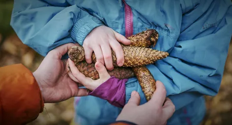
Red Squirrel Appreciation Day falls on the 21 January this year and we're sharing some of our favour…
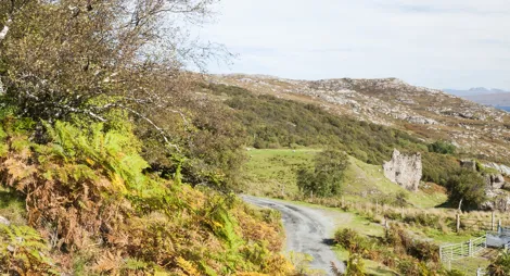
Walk from the ferry to this forest full of unexpected island heritage and some striking views of Skye. Inverarish forest is compact but it’s crammed with interest! Follow the waymarked FLS trails and combine with the community paths marked on the map to make up your own adventure. Why not explore at your own pace and make a day of it?
Discover Raasay’s iron mining history and follow the line of its dismantled railway across the hillside above Inverarish.
Sections of rough grass and earth paths with narrow parts. One long steep slope and long sets of rough rocky steps. Two gates, several muddy sections and a road section.

Allow 1 ½ hours
During the First World War nearly 300 German prisoners of war worked in Raasay's iron ore mines. Two mines were built but only the top mine (No 1 Mine) was actively worked. You can follow the dismantled railway line from this mine to the processing works at East Suisnish.
The easiest access for the hill trail to Dun Cana starts at the main car park (No 1 Mine). You can start from the main car park at Mine No 1 or from a smaller car park at Mine No 2, near Henderson's Bridge.
Climb up Temptation Hill for fine views across the Sound of Raasay towards Skye, and discover Dun Borodale Broch and Loch a’ Mhuillin on the way. Return via the Emigrants’ Walk, Inverarish village and along the shore path to the ferry.
Mostly firm gravel and tarmac surface. Uneven earthy and grassy sections, with narrow and muddy parts. One long steep slope. Includes some steps, gates and short sections along roads.

Allow 2 hours
The distance and time allowance shown here are for the full circuit, including the suggested return along the shore path (not waymarked or on FLS land).
Follow Raasay’s rugged coastal shore round the headland and look for seals and otters in North Bay, before returning via Orchard Wood and Loch a’ Mhuillin.
Rough, narrow grass and earth paths. Some rocky and muddy sections. One long steep slope and some rock steps. Includes some gates and sections along the road.

Allow 2 hours
The distance and time allowance shown here are for the full circuit, including the suggested return along the coastal path (not waymarked or on FLS land).
You'll enjoy Raasay best if you have boots, clothes for all weathers and an Ordnance Survey map. If you're visiting for the day, bring food too as you may not be near somewhere to eat when you need it. There are public toilets at the ferry terminal as you arrive.
There's no bus on the island, so to explore the north end you'll need a bike or a car. There's no petrol station either, so make sure you have enough fuel.
Both car parks have historic mine buildings nearby. These are decaying naturally. Please do not enter the mine buildings and fenced-off areas and follow all safety signage.
There is no charge to park in this car park.
The ferry for Raasay leaves from Sconser on the east coast of Skye and arrives on Raasay about a mile (1.6 km) from the village of Inverarish.
To reach the main car park at No 1 Mine, leave the ferry terminal and turn right at the junction towards Inverarish village. Follow the road past the village for 1½ miles (2.4 km) until you see the car park sign.
If you want a quick, short walk with a good view, you could start at the small cemetery car park run by the council. Follow the road from the ferry terminal and turn right at the junction. Almost immediately turn left up the hill beside the hotel and follow the road to the cemetery.
IV40 8NT is the nearest postcode for the main car park at No 1 Mine and IV40 8PB is the nearest for the cemetery car park.
There is no public transport on Raasay.
Have a question or suggestion for improvement?

Stunning sea views, coastal trails and island heritage

A quiet forest for birdwatching and stargazing

Panoramic views over the Cuillins and Loch Eynort