Wednesday, 21 Jan 2026
Red Squirrel Appreciation Day falls on the 21 January this year and we're sharing some of our favour…
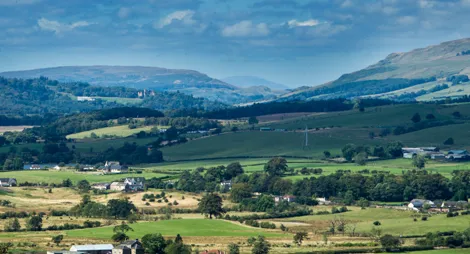
Croy Hill has some of the best preserved sections of the Antonine Wall. This remarkable structure stretched 37 miles between the Firth of Forth and the Firth of Clyde. For around 20 years it marked the northernmost frontier of the Roman Empire.
However, a brush with history isn't the only reason to visit these pretty woods. Butterflies, red squirrels and great crested newts call Nethercroy home. In summer, the meadows are full of wildflowers, including the sweetly-scented lesser white butterfly orchid.
Public toilets, refreshments and bike hire are available at Auchinstarry Marina. There are more places to eat, drink and shop at nearby Croy and Twechar.
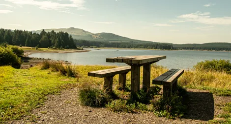
Parking is available at Auchinstarry Marina which is to the east of the B802 between Croy and Kilsyth. A path winds up into the wood from the picnic area.
The wood can also be accessed from the villages of Dullatur and Croy.
G65 9SG is the postcode for Auchinstarry Marina.
Many trains running between Glasgow and Edinburgh stop at Croy. Local buses run between Croy and Auchinstarry. Plan your journey at Traveline Scotland.
Have a question or suggestion for improvement?

Explore a Roman fort, an Iron Age stronghold and a Georgian canal

A landscape rich in wildlife and history

Begin your walk up the distinctive peak of Meikle Bin