Wednesday, 21 Jan 2026
Red Squirrel Appreciation Day falls on the 21 January this year and we're sharing some of our favour…
Cold and snowy conditions are impacting access to many of our forest car parks. These access routes may be very icy and untreated. Caution is advised for all users.
Marvel at the mighty fir trees of Sutherland’s Grove, the oldest of which were planted in 1870. Some are over 50 metres (174 feet) high. More were added in 1921 to commemorate Lord John Donald Sutherland, one of the founders of the Forestry Commission.
As you push deeper into this vast forest, you will find more ancient oaks and Scots pines. The trails follow the gorge of the Abhainn Teithilburn. The curiously-sculpted rocks here create incredible waterfalls.
Sutherland's Grove route card (PDF)
A lovely shady meander through soaring Douglas firs and beside the burn – be sure to bring a picnic. Look out for our very own lightning tree struck in 2020. The powerful scar can be seen the full length of the tree stem.
A wide, firm surface. Generally flat with short gentle gradients.

Allow ¼ hours
Look out for the stone memorial, just off the path, that dedicates this atmospheric grove to Lord Sutherland of the Forestry Commission. Listen for woodland birds in the canopy and see if you can spot plump dippers bobbing beside the burn.
Experience babbling burns and powerful waterfalls within the shelter of giant trees. This trail awakens the senses and captures the highlights of this forest.
A varied route with, some steep, rough and rocky sections. Can be narrow in places. Often wet and muddy after rain.

Allow ¾ hour
Listen for birds singing in the trees.
Explore the woods a bit further and meet the troll who lives beside the footbridge above the gorge.
Varied with some fairly steep, rough and rocky sections. Can be narrow in places. Often wet and muddy after rain. One bridge with a steep narrow flight of steps.

Allow 1 ¼ hours
This trail is a great place to spot red squirrels.
If you're feeling adventurous, head further into this lovely woodland on foot or by bike to find Glen Dubh reservoir and enjoy fantastic views over the Firth of Lorne and its islands. Ordnance Survey maps Explorer 376: Oban & North Lorn and Landranger 49: Oban & East Mull cover the forest roads.
There is a small shop, a petrol station and a seasonal café in Benderloch to the south. Public toilets, a shop and places to eat and drink can be found at Port Appin to the north.
The charges to park at Sutherland's Grove are:
Blue Badge holders park free. Please display your Blue Badge clearly.
Payment can be made using card or RingGo.
Annual parking passes are available for this site, visit our parking page for more information.
Sutherland’s Grove is on the east side of the A828 just north of Barcaldine. Look for our sign to the car park about 350 yards north of the village school and campsite.
PA37 1SQ is the nearest postcode.
There are regular buses between Oban and Fort William that stop in Barcaldine. Plan your journey at Traveline Scotland.
Have a question or suggestion for improvement?

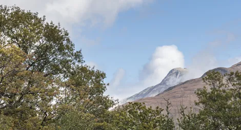
Panoramic views of North Argyll and beyond

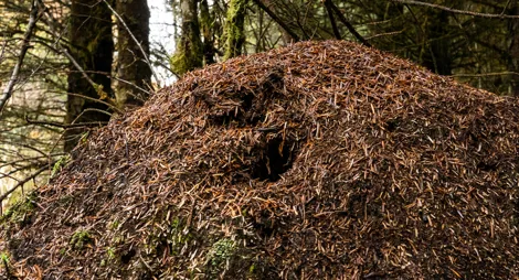
Attractive woodland trail passing the magical woodland ant nests

Dramatic gorge and glen in native woodland