Wednesday, 21 Jan 2026
Red Squirrel Appreciation Day falls on the 21 January this year and we're sharing some of our favour…
Over two thousand years ago, the powerful Selgovae tribe ruled Eskdale. Their major base was at Castle O’er
The two distinct structures here haven't been excavated so we don't really know what they were used for. It’s possible one was a fort or lookout point, with the other being a place to live.
Bessie's Hill route card (PDF)
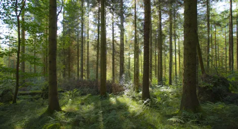
Climb through the magnificent Norway spruce trees to emerge in an Iron Age landscape. Great views over the River Esk.
Grass and earth paths, with some rough and potentially muddy sections. Some steep slopes and one short flight of steps. There are no waymarkers on the monuments to protect them.

Allow 1 hour
In the past visitors to the valley would have seen an imposing site of the hillfort above Eskdale valley. A little further on are the remains of another fortified site where most of the tribe would have lived.
The trail visits both structures on the hill. The lower one only has ramparts on three sides, as the steep slope of the hill was protection enough on the fourth.
Link up Bessie's Hill with other prehistoric sites in the area by following the Eskdale Prehistoric Trail by car or bike. You can find out more about the Trail at Langholm Walks.
The closest toilets and café facilities are at the Old School Hub and café at Eskdalemuir and are within 4 miles of Bessie's Hill.
There is no charge to park in this car park.
Bessie’s Hill is less than 2 miles south of Eskdalemuir. It travelling from the north on the B709, follow the turning signposted as 'Langholm, Lockerbie, (unsuitable for HGVs)' at Eskdalemuir village. If coming from the south, the same turning is signposted for 'Bailiehill'.
DG13 0PL is the nearest postcode.
Have a question or suggestion for improvement?

Explore this spectacular prehistoric settlement

Find space to breathe at Craigieburn

A stunning woodland landscape with tranquil trails