Wednesday, 21 Jan 2026
Red Squirrel Appreciation Day falls on the 21 January this year and we're sharing some of our favour…
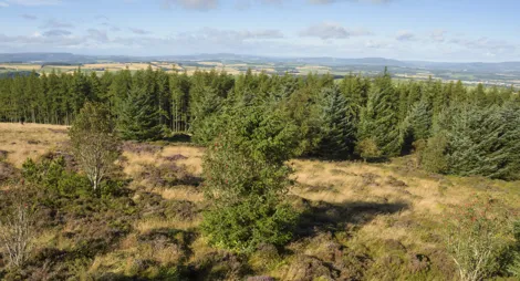
The wide forest trails give views over farmland and towards Aberdeen. They can be combined into a longer circular route passing through the whole length of the forest.
These attractive woods were once part of the Countesswells estate.
Countesswells route card (PDF)
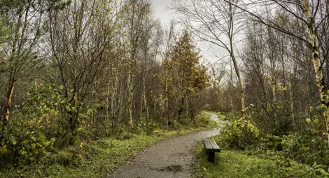
Enjoy a short walk through an area significantly impacted by storm damage, now undergoing restoration with newly planted native oaks, rowans, and hawthorns lining the path.
Mostly firm gravel surface. Section of uneven earthy path with exposed tree roots and muddy areas. Fairly steep slopes.

Allow 3/4 hour
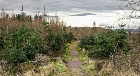
Take a short walk along this storm-affected trail, passing newly replanted lime trees. Continue through open spaces that now offer wide views and are being replanted with a mixture of conifers and broadleaves.
Firm gravel surface with some uneven sections. Moderate slopes. Some parts may be muddy after rain.

Allow 1 hour
This is a great trail for getting a quick blast of fresh air and exercise at any time of day. There are viewpoints over farmland and out to Kingshill Wood.
Explore this scenic loop around Gairn Hill Wood home to mature Scots pine with areas of newly planted oak and aspen opening up to stunning views across Aberdeenshire.
Firm gravel surface throughout, with some rocky, rooty and muddy parts. Long moderate slopes with some short steeper ramps.

Allow 1 ½ hours
The nearest public toilets are in Cults or Kingswells.
The charges to park at Countesswells are:
Blue Badge holders park free. Please display your Blue Badge clearly.
Payment can be made using coins, card or RingGo.
Annual parking passes are available for this site, visit our parking page for more information.
The entrance and car park for Countesswells wood is on the west side of an unclassified road, 1 mile south of Kingswells. From the Kingswells roundabout on the A944, follow the turning for Cults. If heading from Cults or Countesswells Road, follow signs for Kingswells.
AB15 8QD is the closest postcode.
Have a question or suggestion for improvement?

Countesswells' smaller and quieter neighbour

Family-friendly trails through towering trees

Walk, run or cycle to the Tappie Tower