Wednesday, 21 Jan 2026
Red Squirrel Appreciation Day falls on the 21 January this year and we're sharing some of our favour…
The Tappie Tower is a stiff climb but well worth the effort for views to Aberdeen and Bennachie.
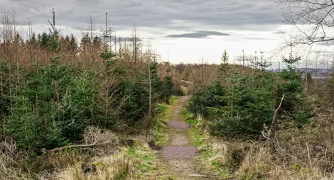
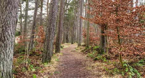
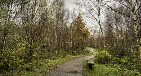
Whatever your pace, Kirkhill can help you get fitter and more active. Explore the natural paths which weave through spruce and larch here. If biking is your passion, try perfecting your technical skills at the MTB fun park.
Climb through the forest to the 19th century folly at Tappie Tower, which provides panoramic views from the North Sea to Bennachie.
Firm and mostly wide gravel surface, with some uneven and slightly rocky sections. One long fairly steep slope. Parts may be wet after rain.

Allow 2 ½ hours
The trail winds its way through a range of forest scenery before a small path leads off to the Tappie Tower. The folk who built the tower in the 19th century knew what they were about: there’s a stunning view across Aberdeenshire.
The mountain bike fun park is near the car park. It’s an ideal place to practice skills before trying more demanding places like the Moray Monster Trails.
Kirkhill’s wide trails are good for horse riding, and there’s plenty of space in the car park for horse boxes.
There is no charge to park in this car park.
Kirkhill is on the north side of the A96, between the Dyce roundabout and Blackburn village. Slow down when you see the turn-off signposted for 'Kirkton of Skene' - the entrance to Kirkhill forest is opposite this.
AB21 0TU is the nearest postcode.
Have a question or suggestion for improvement?

Family-friendly trails through towering trees

Rightly popular with walkers, joggers and cyclists alike

Countesswells' smaller and quieter neighbour