Wednesday, 21 Jan 2026
Red Squirrel Appreciation Day falls on the 21 January this year and we're sharing some of our favour…
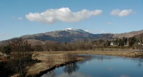
The Callander Crags offer spectacular views north to the mountains and lochs of the Highlands and south to the gently rolling countryside of the Lowlands.
The Crags are a distinctive part of the Highland Boundary Fault. This remarkable rocky ledge stretches right across Scotland and formed when two ancient continents collided 390 million years ago.
The stiff climb to the top of Callander Crags is rewarded with panoramic views over Callander and the Trossachs.
Sustained long steep slopes for up to 800m. Rough rock and earth paths with muddy sections and tree roots. Includes long flight of uneven rock steps.

Allow 1 ½ hours
This trail winds through the trees behind the town before climbing steeply through conifer woodland to the crags. The route follows the edge of the crags – take care here – with the option to divert to the cairn built to commemorate Queen Victoria’s Diamond Jubilee in 1897.
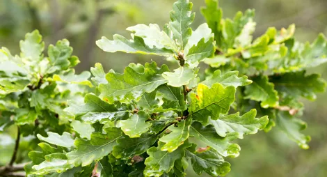
There is a magnificent panoramic view from the crags, encompassing Callander town, Loch Venachar, Ben Ledi and across The Trossachs to Ben Lomond, as well as to Stirling Castle, the Wallace Monument and the Ochil Hills beyond. The descent leads through mixed woodland, where the many large beech, oak and birch trees put on a colourful show in autumn.
The 94 mile Rob Roy Way passes through Callander. The route follows the tracks and paths used by Rob Roy MacGregor, Scotland's most notorious outlaw.
There are plenty of other walking routes starting from the town of Callander. Find out more at Loch Lomond & The Trossachs National Park.
The nearest public toilets, shops and cafés are in Callander.
There is no charge to park in this car park.
At the east end of Main Street in Callander, a road sign points uphill towards 'The Crags' and 'Bracklinn Falls'. Follow this road for 500 metres - Callander Crags car park is signposted on the left.
FK17 8EQ is the nearest postcode.
Buses between Stirling and Killin stop in Callander village. Plan your journey at Traveline Scotland.
Have a question or suggestion for improvement?

Climb the Trossachs' highest summit

Lochside cabins beneath the peaks of Ben Ledi

Rugged forest in a sheltered glen