Wednesday, 21 Jan 2026
Red Squirrel Appreciation Day falls on the 21 January this year and we're sharing some of our favour…
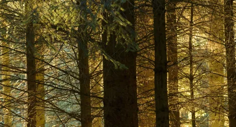
There’s a lovely atmosphere all year round in this mixed forest. It’s the largest patch of woodland in The Machars, and a great shelter for roe deer and red squirrels. It looks especially pretty in May, when bluebells carpet the ground.
A short loop through charming deciduous woodland, which has a carpet of bluebells in the spring. Listen out for woodpeckers and red squirrels among the trees.
Firm gravel and earth surface, with some uneven and potentially muddy sections. Includes some short fairly steep slopes.

Allow ¾ hours
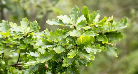
Head deeper into the wood to find the shy red deer and bright wood anemones among the oak, beech and ash trees.
Mostly firm gravel and earth surface, with some uneven rocky sections. Short fairly steep slopes. Includes some muddy sections and low branches.

Allow 2 hours
You’ll catch views out across the neighbouring farmland along this trail. Sometimes you’ll hear geese calling from the nearby estuary. Visit in early evening and you may well see bats hunting for food.
The Red Deer Trail is popular with local horse riders: it’s mainly level, and just the right length for a short ride.
You’ll find toilets and places to eat in Wigtown.
There is no charge to park in this car park.
From Wigtown, follow signs for Whithorn along the A714 and A746. About 3 ½ miles (5.6 km) south of Wigtown, take the B7004, signposted for Garlieston. Kilsture Car Park is about ½ mile (800 metres) along this road, on the right hand side. The car park is at grid reference NX 436 501.
DG8 9DD is the nearest postcode, a little further south along the B7004.
Buses between Wigtown and Whithorn pass the junction with the B7004. Check Traveline Scotland for details.
Have a question or suggestion for improvement?

Follow the Balloch Burn up the hillside above Creetown

Galloway Forest Park’s gateway centre

Peaceful forest roads with fine views over Newton Stewart