
Wednesday, 24 Jul 2024
A natural solution is being used to combat issues caused by frequent flooding and help protect rare…
This forest stretches from Lossiemouth towards Kingston at the mouth of the River Spey. Hidden amongst the trees are the defences designed to keep Britain safe in World War II: pillboxes, a six-inch gun emplacement, and hundreds of concrete anti-tank cubes. This well-preserved stretch of the defence lines that stretched along the east coast has been protected by the maturing forest.
You'll find more coastal defences at nearby Roseisle and at Culbin. There are no waymarked trails here but walkers, horse-riders and cyclists are welcome to explore the many tracks through the woods and out onto the shore.
There are many forest tracks from the car park towards the beach, where you’ll find most of the defences. The best examples are close to the fishing station, marked on the current Ordnance Survey map. Please remember that historic sites should be treated with care and respect.
You can find refreshments, shops and public toilets at nearby Lossiemouth and Elgin.
There is no charge to park in this car park. Please park with care and consideration. In particular please park in designated parking areas only and do not block entrances or gates.
Take the B9103, which links Lossiemouth with the A96. The small car park lies just off this road, across the canal opposite Inchbroom Farm. You can also reach the forest on foot along the beach from Lossiemouth or from Kingston’s Lein car park.
IV31 6RU is the nearest postcode.
Have a question or suggestion for improvement?
A hilltop woodland overlooking the Moray Firth


Meander a maze of trails through the pines

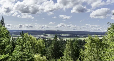
An enchanting wood overlooking the River Spey
Wednesday, 24 Jul 2024
A natural solution is being used to combat issues caused by frequent flooding and help protect rare…

Monday, 20 May 2024
Invasive alien species are one of the main direct drivers of biodiversity loss worldwide. We’re maki…

Monday, 13 May 2024
We've beaten our in-house rainforest restoration target for 2023-24 by 141% thanks to an extraordina…