Wednesday, 21 Jan 2026
Red Squirrel Appreciation Day falls on the 21 January this year and we're sharing some of our favour…
The Pirn Hill in Caberston Forest is one of many Iron Age settlements along the Tweed Valley. They’re known as ‘hill forts’. Though these may have been built more as status symbols than as a defence against attackers. They all hold commanding positions on hilltops, making them great places to drink in the view.
You'll also pass sculptures by local artist, Mary Kenny. She was inspired by different periods in Innerleithen’s history. See if you can spot prehistoric hunters, Roman soldiers, or a Celtic storyteller. You might also notice Innerleithen’s mills and spa, a family celebrating ‘Cleikum’, or the fish and farm animals that have sustained the town through the centuries.
Caberston Forest route card (PDF)
Climb back in time around the Iron Age hill fort on Pirn Hill. There’s an option to include the summit and panoramic views over the Tweed Valley.
Uneven earth and grass paths. Includes short steep sections with loose gravel.

Allow ¾ hours
The trail starts at the historic Cuddy Brig across the Leithen Water. Look for a signpost on Leithen Road, pointing down a track between the houses on the right. It leads you to the site of a hilltop fort built 2,000 years ago, and to protect the archaeological site there are no waymarkers up onto the summit of the hill itself.
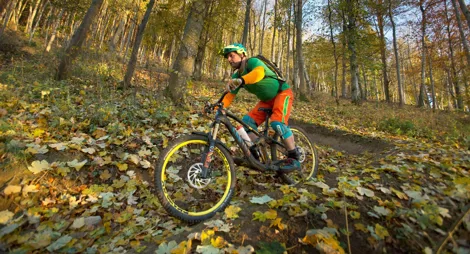
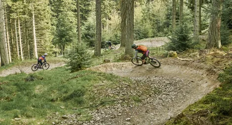
A pioneering mountain bike trail development scheme makes Caberston one of the best places for mountain biking in the UK, but there’s more to discover here for all types of forest user. Find out more about how we’re working to create ideal environments for walking, mountain biking and horse riding in the Tweed Valley Forest Park.
There are public toilets and lots of places to eat and drink in Innerleithen.
The trail begins in Innerleithen, on Leithen Road 500m from the junction with the High Street. Look for the signpost to 'Pirn Hill Fort' that points down a track between the houses on the east side of the road.
There is no car park at this location.
You can park at Innerleithen forest and make your way into town to Caberston Forest. There is also parking in the town of Innerleithen and on-street parking around the waymarked trail. The parking facilities have a small fee that goes back to the community.
Please consider public and active transport if available and possible.
EH44 6HE is the nearest postcode.
Local buses, as well as services from Edinburgh, stop on Innerleithen High Street. Plan your journey at Traveline Scotland.
Have a question or suggestion for improvement?

The best downhill and enduro mountain-biking in the area

Beautiful views of Tweed Valley and 2000 years of history

Award-winning mountain biking and so much more