Thursday, 25 April 2024
Many don’t realise that Scotland is home to a native apple species, the wild apple (Malus sylvestris). Due to hybridisation, and historically being seen as unimportant the nat...
Here, at the end of the public road, Glen Affric opens up and you are surrounded by the mountains. The wild land is home to golden eagles, mountain hares and red deer.
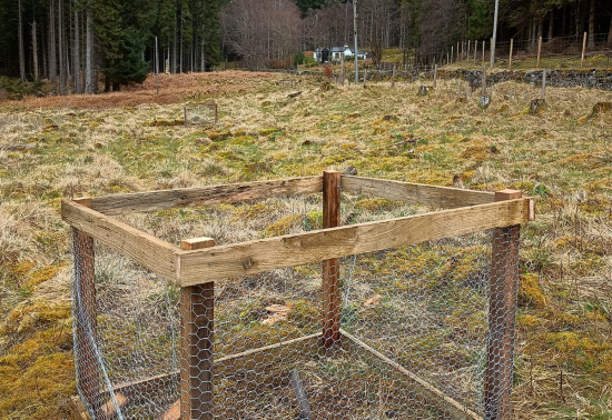
Autumn and winter are the best times to see deer, when they come down from the hills to find shelter and feed on bark and young saplings. In the past, wolves helped to keep the delicate balance between deer and trees. Now we fence some areas of forest to keep the deer out, and control their numbers so both trees and deer stay healthy.
A brisk climb through the bracken and birch trees reveals a magnificent viewpoint looking across Loch Affric to the mountains beyond.
Firm gravel path with uneven rocky sections. Steep slopes and several sets of rocky steps. Includes a road crossing.
Allow ¼ hour
From the viewpoint there’s a grand panorama of the mountains at the head of the glen. Drovers used to bring herds of cattle through the mountain passes, driving them from the small farming communities in the west of Scotland to market in Inverness.
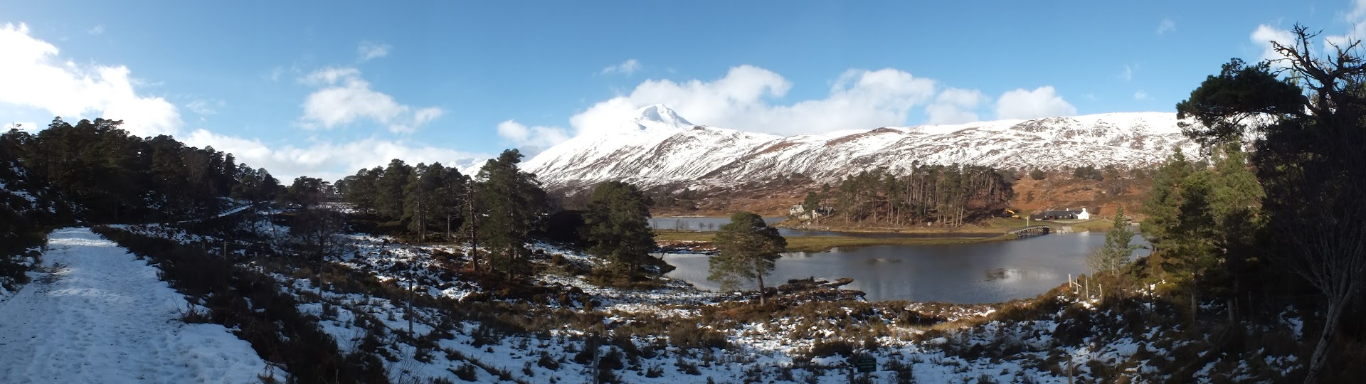
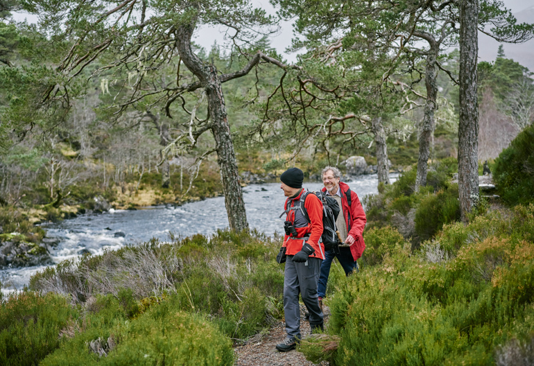
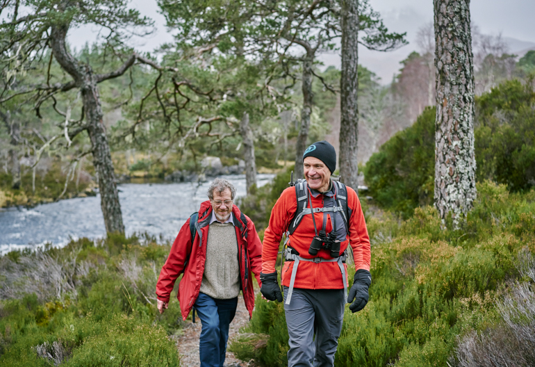
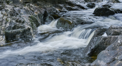
Descend to the banks of the River Affric, where the peaty waters surge powerfully between Loch Affric and Loch Beinn a’ Mheadhain.
Uneven gravel path with rocky sections and exposed tree roots. Some steep slopes and several sets of uneven stone steps. Optional rough and narrow rocky section.
Allow ½ hour
The river is spectacular after rain, as it rushes through the pinewood. Look for the swirling patterns in the rocks by the river’s edge, and keep a watch for deer in autumn and winter. You’ll need sharp eyes to spot their reddish coats among the trees and bracken.
If you’re feeling adventurous, this is the starting point for some superb longer routes in superb mountain scenery. Remember that there are no signposts once you leave the waymarked trails from the car parks, and there is no mobile phone signal so it is difficult to call for help if you get into difficulties. You need to be fit, confident at map-reading and navigation, and well equipped with clothing and food. Check our advice on hill walking before you set off.
The circuit around Loch Affric itself will give you a real flavour of the mountains that separate east and west Scotland. It’s about 11 miles (18 km) and fairly level. It’s easy to find your way, but on the north side of the loch you have to cross burns that have no bridges. This can be tricky after heavy rain, and you may need to go some way up or down the burn to find a safe place to cross. You’ll find more details of the route, together with reports from people who’ve done it, on the Walk Highlands website.
Much of the road through the glen is single track, like many Highland roads. Drive slowly, and pull over to the left to let other cars pass at the passing places.
Be warned that there is no mobile phone reception in the glen, so you won’t be able to use electronic maps that rely on a network connection.
There are toilets here, open in the summer months.
You’ll find places to eat in Cannich or Tomich and a shop in Cannich. There are no cafés or shops in Glen Affric itself.
The charges to park at River Affric are:
Please park with care and consideration. In particular please park in designated parking areas only and do not block entrances or gates. Nearby car parks with free parking can be found in our local forest list without the £ symbol.
Available in advance by downloading the relevant application form and emailing to the Regional Office. Please read our Annual Pass terms and conditions before applying.
Valid at Laggan Wolftrax, Dog Falls, River Affric, Slattadale, Kylerhea and Contin.
Valid at all Forestry and Land Scotland car parks except Tentsmuir.
From Inverness or Fort William, follow the A82 along Loch Ness to Drumnadrochit. Turn onto the A831, signposted for Canaich (Cannich). In Cannich village, turn left onto the minor road signposted for Glen Affric. River Affric is about 10 miles (16 km) along this road.
IV4 7LN is the postcode for the centre of Cannich village. Follow the directions above from there.
Buses run from Inverness to Tomich and Cannich throughout the year. For details visit Traveline Scotland.
Have a question or suggestion for improvement?
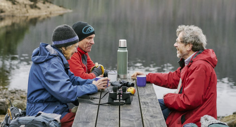
A lochside picnic spot with gentle woodland paths
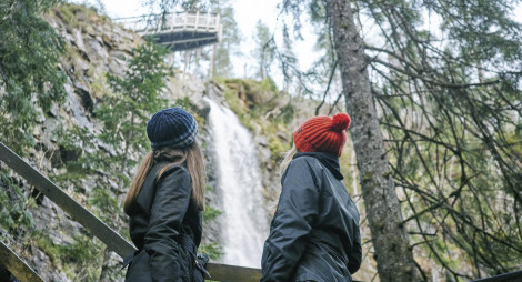
One of Scotland’s most spectacular waterfalls
Picnic by rushing rapids, with glorious woodland walks
Thursday, 25 April 2024
Many don’t realise that Scotland is home to a native apple species, the wild apple (Malus sylvestris). Due to hybridisation, and historically being seen as unimportant the nat...
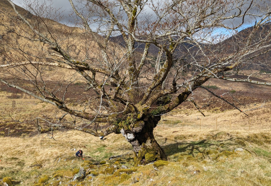
Thursday, 18 April 2024
An ancie...
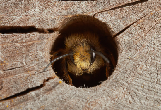
Thursday, 11 April 2024
Around 270 species of bees are found in the UK, with nearly 90% solitary species. Some that can be seen in Scotland include the red mason bee, common carder bee and the chocolate mining bee that...
Thursday, 04 April 2024