Wednesday, 21 Jan 2026
Red Squirrel Appreciation Day falls on the 21 January this year and we're sharing some of our favour…
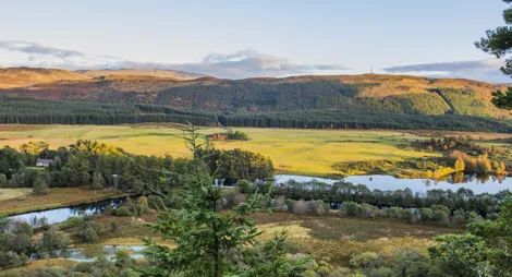
A tranquil and secluded area named after Torr Dhuin, one of several Iron Age forts or duns along the Great Glen. In prehistoric times it probably defended this important route through the mountains. Today the river banks are only disturbed by ducks, water birds and the occasional paddler splashing by. You'll enjoy quiet trails through the woods and commanding views from the fort.
Climb steeply to an ancient hill fort perched on a precipice with surprising views over the Great Glen and Caledonian Canal. Follow the trail anticlockwise for a less steep climb.
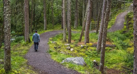
Narrow and steep firm gravel path with tight corners. Includes a bridge.

Allow 1 hour
Torr Dhuin is one of several Great Glen forts built by Iron Age people in less peaceful times; its vitrified (or burnt) walls are up to three metres thick.
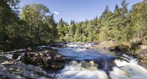
Follow the beautiful River Oich through towering Norway spruce, larch and Scots pine, and look for squirrels, otters and water birds.
Uneven earth and grass surface with exposed tree roots. Some rough, narrow and muddy sections. Generally flat with some short steep slopes. Riverside path floods in heavy rain.

Allow 2 hours
There's plenty of wonderful wildlife to spot on this family-friendly trail. Red squirrels forage for food in the woods and water birds like cormorants and goosanders visit the nearby canal. Walk quietly along the smooth grassy banks of the River Oich (just begging for a picnic!) and you may even see an otter. You can also follow the trail from the River Oich car park.
The village of Fort Augustus has public toilets and many places to eat.
There is no charge to park in this car park.
From the centre of Fort Augustus head north towards Inverness. Before leaving the village you'll see a signpost to Jenkins Park and Auchteraw on the left hand side. Turn left up the steep hill and then left again after the play park. At the fork in the road keep left and continue for another 2½ miles (4 km) until you see Forestry Commission signs directing you onto a forest road and into the car park at grid reference NH 350 073.
PH32 4BT is the nearest postcode, just before the Auchteraw Country House hotel.
The Inverness to Fort William bus service stops in Fort Augustus, about 3 miles (4.8 km) from the start of the trails. See Traveline Scotland for details of bus services.
Have a question or suggestion for improvement?

A great place for a family picnic and a gentle stroll

A tree-lined climb to a view over Loch Ness

One of Scotland's most beautiful rivers