Archaeological investigation
Archaeological investigation
There is a very simple reason why archaeological investigation is such an important activity on the land we manage. Only by developing our knowledge of the many archaeological sites, historic structures and cultural landscapes in our care can we understand how best to protect, conserve and present them.

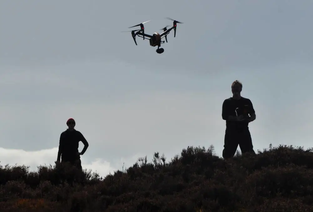
How we go about that is sometimes not so straightforward. Today, we use an array of survey techniques, including low altitude aerial photography and state-of-the-art laser scanning technology, to create amazingly detailed records. These are combined with traditional methods of excavation, written conservation statements and artistic reconstruction drawings.
Like a jigsaw, the larger picture is painstakingly built up from small pieces of evidence.
Find out more
 Caisteal Grugaig broch
Caisteal Grugaig is a fine example of an Iron Age broch. It stands on a rocky knoll overlooking Loch Alsh in the western Highlands.
 Cracknie souterrain
Looking after archaeological sites that are more than 2000 years old isn’t easy... especially when they are underground!
 Ormaig Neolithic art
Illustration, photography and modern laser scanning techniques are helping us keep an accurate record of all significant historic assets on the land we manage.
 Arran’s Neolithic chambered tombs
Dotted about the island of Arran are numerous stone cairns in which our Neolithic ancestors buried their dead.
Arran’s Neolithic chambered tombs
 Comar Wood dun
One of our forest rangers discovered the well-preserved ‘dun’ at Comar Wood near Cannich in Strathglass, stopping our forestry machines in their tracks!
 Kraiknish Dun
One of the most exciting things about investigating an archaeological site is being able to tell the story of the people who lived there.
 Castle O’er hillfort
Low-altitude aerial photography by remote-controlled drone or microcopter is helping archaeologists take a fresh look at ancient sites.
Castle O’er hillfort from above